


Masméjean / le pont du Tarn

fb30
User
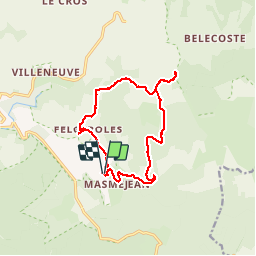

Length
14 km

Max alt
1347 m

Uphill gradient
311 m
Km-Effort
18.2 km

Min alt
1066 m

Downhill gradient
314 m
Boucle
Yes
Creation date :
2019-11-02 09:42:24.0
Updated on :
2019-11-02 14:04:02.394
4h21
Difficulty : Difficult

FREE GPS app for hiking
 SityTrail
IGN / Geographical institutes
SityTrail Plus
The world is yours!
About
Trail Walking of 14 km to be discovered at Occitania, Lozère, Pont de Montvert - Sud Mont Lozère. This trail is proposed by fb30.
Description
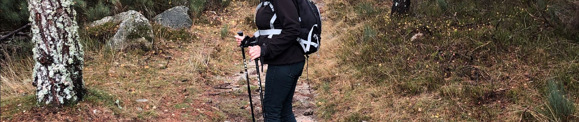
Magnifique rando aux couleurs d automne
Photos


Positioning
Country:
France
Region :
Occitania
Department/Province :
Lozère
Municipality :
Pont de Montvert - Sud Mont Lozère
Location:
Saint-Maurice-de-Ventalon
Start:(Dec)
Start:(UTM)
563609 ; 4910921 (31T) N.
Comments